Disclosure: I received this complimentary product through the Homeschool Review Crew.
My kids love maps. The older set (now teenagers) really liked to study and make maps when they were younger. My younger crop have also developed that love, so when I given the list of options to review from Home School in the Woods this year, I was excited to see their Maps Combo-Pak (US & World Maps) available.
![]()
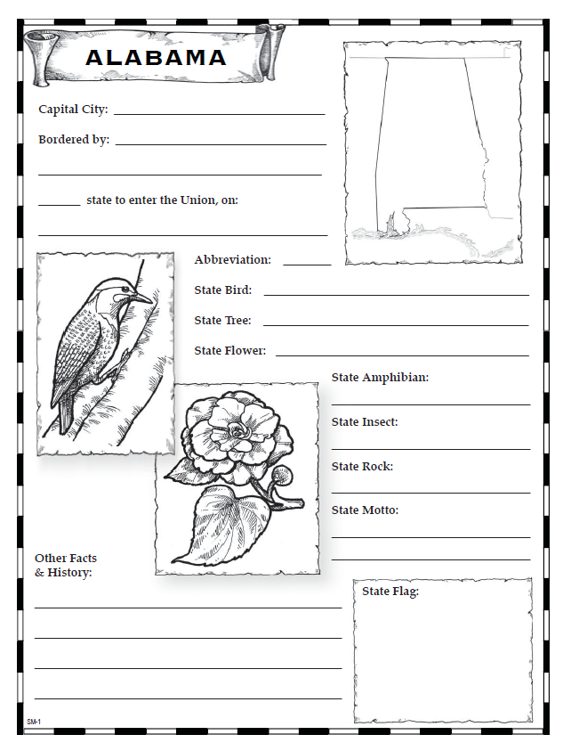 The digital download kit includes two main folders: US Maps and World Maps. From there, you enter the PDFs folder, and there are the maps along with many other super useful tools for adding these maps to any curriculum as a supplementary product. This includes a cover and spine printout for making a maps notebook with your child. In addition to individual maps of each state (3 for each state), there is a whole section of historical maps you can pull from and print out. This includes things like Colonial America, the US during the Civil War, Growth maps of the US at several points in history (1800-1959), a full country map, and more. The other thing that’s really cool here is the Notebooking pages folder. If you run a notebooking-style homeschool, this is an invaluable resource. The Notebooking pages are designed for elementary students, and include some drawings and a small map for each state along with spots for your student to write in information such as state flower, when they became a state, and more. There is also a teacher’s key for each of these pages.
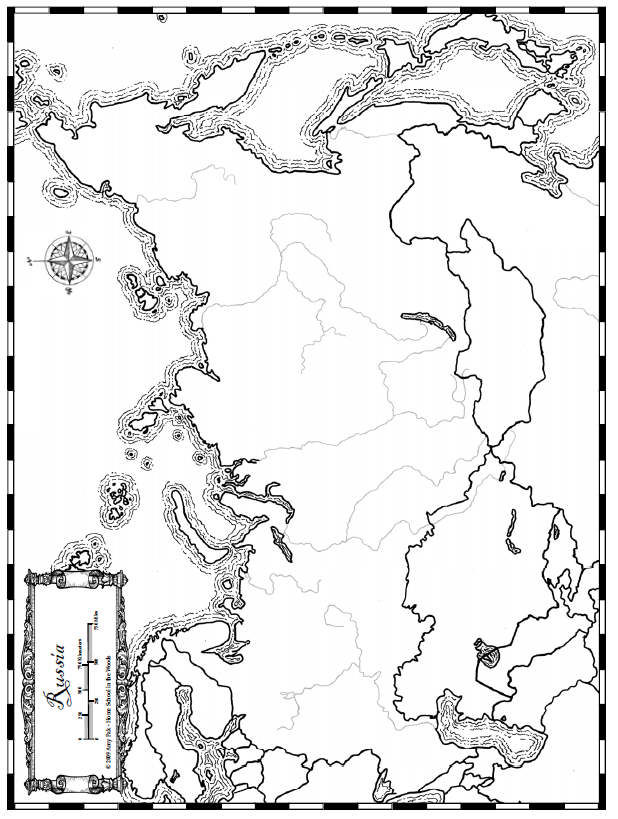 The World Maps folder is very similar to the US Maps, but as you might expect – they have maps of various continents, oceans, and countries instead of the states. It would be such a huge undertaking to include every country in the world in a kit like this, so for obvious reasons they had to narrow down the offerings. It’s primarily the continents; parts of Asia get their own maps (Japan-Korea and Russia) and Europe get their own maps. Australia and New Zealand share a map. There are also loads of maps of Biblical times, such as Paul’s Missionary Journeys and the Twelve Tribes in Canaan.
Most of the maps, both in the World Maps and US Maps folders, have a “typical” map with the major cities, mountain ranges, and rivers labeled; a map showing those spots but leaving them unlabeled; and a map with even more information missing (in the World Maps, primarily the name of the country; in the US Maps, this means a map of just the outline of the state).
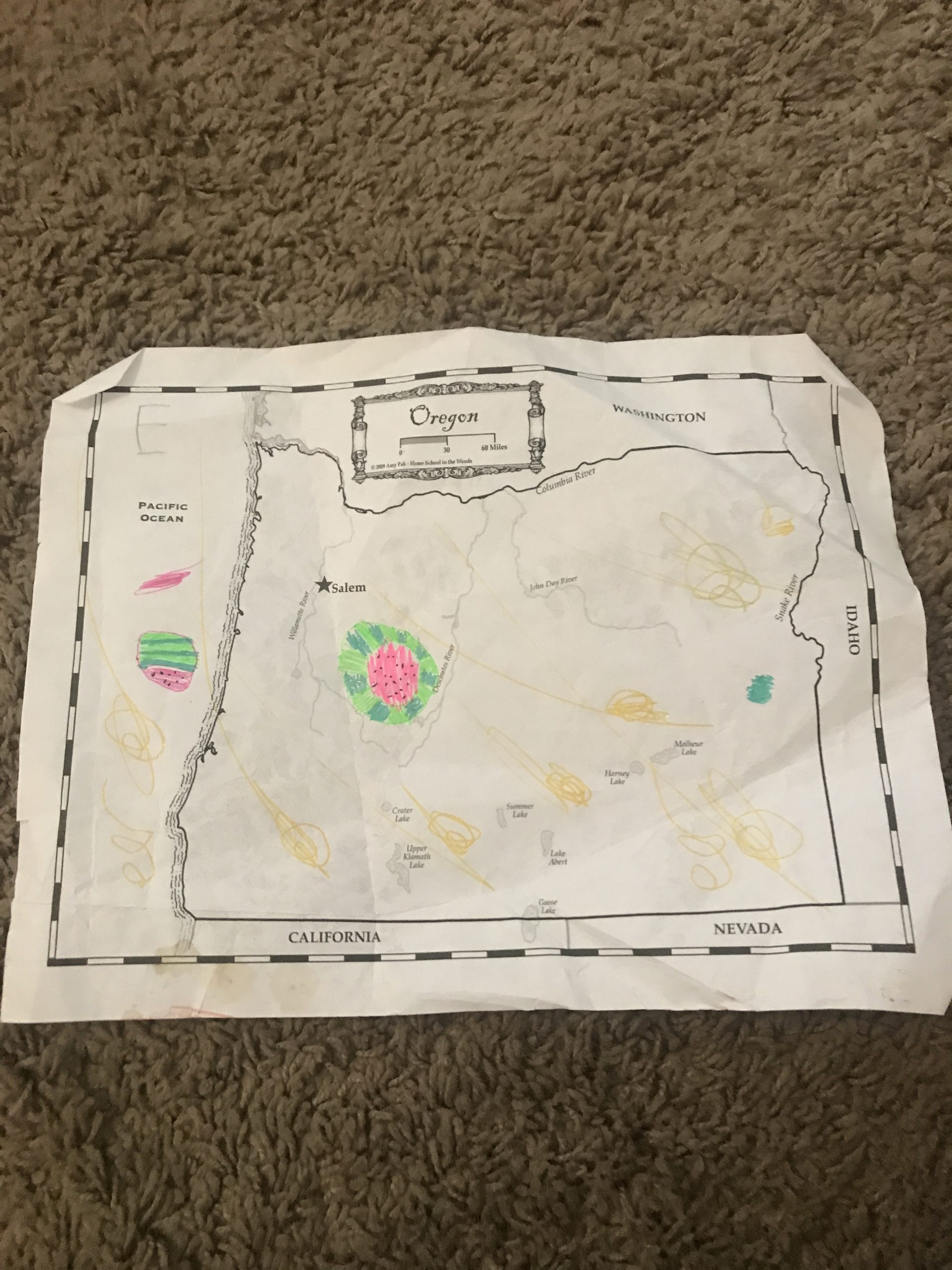 Because it’s summer, my kids haven’t done too much with these maps yet, but we have printed out a few of them – primarily our own state. Once we hit September, I expect we will utilize these maps a lot more, especially the Notebooking pages. Those are going to make a fantastic geography study for my elementary school students next year.
For more information on Home School in the Woods, including seeing more reviews (including of different products like the Printable Essential Timeline Library), click through to the Homeschool Review Crew.
Blessings,